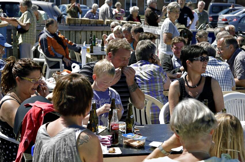
Sun hat, sunscreen and sunbathing will be on many people’s program this weekend.
The good, sunny weather of the last few days continues for a few more days, and there is a good opportunity to enjoy the heat for the rest of the week.
– The high-pressure weather we have had over us remains, and the temperatures are reminiscent of them in recent days. In most places it will be around 25 degrees, in some places 28 degrees, says Simon Brix, who is the weather host at DR Vejret.
The swim in the sea will be nice and fresh with a water temperature of 18-23 degrees.
Jutland heat wave
It will be hot especially in Central and Western Jutland as well as South and Southern Jutland, where a heat wave has been forecast all the way from Thisted and down to Tønder in Southern Jutland, which means 28 degrees or more.
When the temperature is 25 degrees for three days in a row, we call it a heat wave. If the temperature rises to 28 degrees, it is a heat wave .
The coolest will be places with onshore winds, and it is on the weekends along the east coasts and southern Zealand, Lolland-Falster and Møn.
– From next week there will be a cold front and a low pressure , which gives a more erratic weather with showers and lower temperatures, but it will still be warmer than usual at this time in August, Simon Brix explains.
This suggests that last weekend’s heat record will not be surpassed. The record for the hottest day of the year so far was broken on Sunday, when DMI measured 32.4 degrees in the municipalities of Copenhagen and Frederiksberg. At the same time, heat waves were measured in 73 percent of the country.
Source: dr.dk


