There is a risk of large amounts of meltwater in areas such as East Jutland.
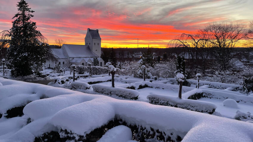
The amount of snow after last week’s widespread snow still amounts to 30 centimeters in the places where most are measured on Friday morning, and there are still drifts with even greater depths and generally a large spread of snow in Denmark. Much of the snow has thus survived the somewhat milder weather of the last few days.
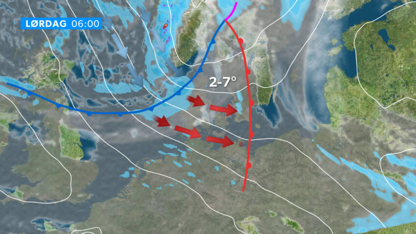
Now, however, something is happening that really kicks off the snowmelt. A frontal system is due to pass Denmark from the north-west during Saturday, and in this connection three snow-melting meteorological factors are at play.
By the time we arrive by Sunday afternoon, 10 to 20 centimeters of snow may have melted in places where there is so much snow to remove, and in some places the snow cover will disappear completely.
Wind, heat and rain
The air temperature is rising to above freezing throughout the country. This brings the snow into direct contact with warmer air, whereby the snow begins to melt.

The wind is also increasing, and this primarily means that the warm air has an easier time coming into contact with the snow. Because if it doesn’t blow very much, a stagnant layer of cold air will form just above the snow, and this insulates for additional heat from above. But when it’s windy, this insulating layer is removed.
Finally, regular rain comes from above. Rain, by its very nature, has a temperature above freezing, and it is also much denser than air, so that large amounts of heat can flow directly into the snow.
The result of the three things together is that you have to expect a lot of snow to melt away until Sunday, when the temperature will again drop to around freezing on the back of the cold front.
Large amounts of meltwater in places
How much snow will melt is difficult to estimate in advance, but if you look at the snow depths calculated by the forecast models, between 10 and 20 centimeters of snow will disappear in several places until Sunday afternoon.

This interval is extremely uncertain, but you can use it as a sign that there is going to be a big meltdown.
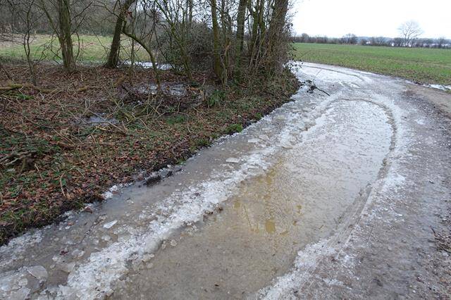
If 10 to 20 centimeters of snow melts away, this corresponds to between 10 and 20 millimeters of rain falling in addition to the rain that falls from above. One must therefore expect that in some places, and especially in East Jutland, a lot of meltwater may come on an already water-saturated and in many places also frozen ground surface.


